STAC, COG and Zarr: how to search satellite imagery in the cloud without downloading terabytes
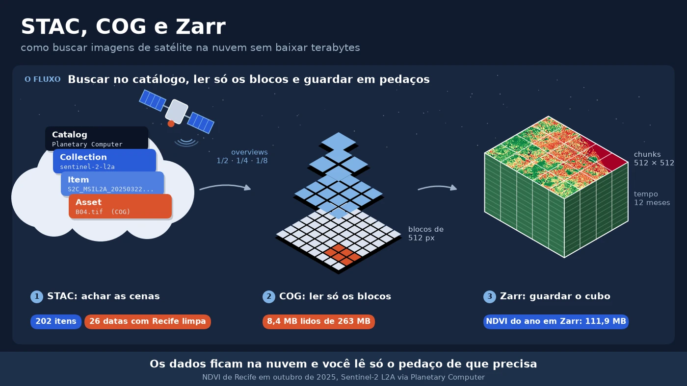
In my first projects with Sentinel-2, getting the images was a manual job. On the Copernicus portal (the Open Access Hub, back then), I picked scenes…
Category
Satellite imagery in the cloud, image time series, image processing and spatial analysis.
8 articles
In my first projects with Sentinel-2, getting the images was a manual job. On the Copernicus portal (the Open Access Hub, back then), I picked scenes…
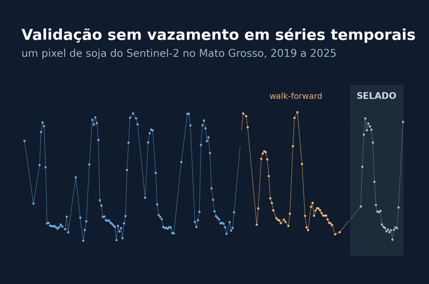
When I set up the evaluation protocol for a forecast on satellite image series, the first rule I write is not about the model. It is about when I am …
RAG projects rarely fail for lack of data; the problem usually lies in whether the retrieval method can support questions that depend on relationship…
When I started combining large language models (LLMs) with geographic data, my first temptation was to treat latitude and longitude as "just two more…
While reading a paper on multivariate solar power forecasting with multilevel data fusion, one practical idea kept coming back to me, that with large…
AI models for remote sensing deliver increasingly impressive results on academic benchmarks, but moving them into operational environments, where rea…
It's been a long time since I last posted here on the blog. But recently, while looking at search trends on Google Trends, I noticed a remarkable ris…
One of the most common questions among people starting out in data analysis is where to get the data they need for their work. Here I list some of th…
No articles match your search.