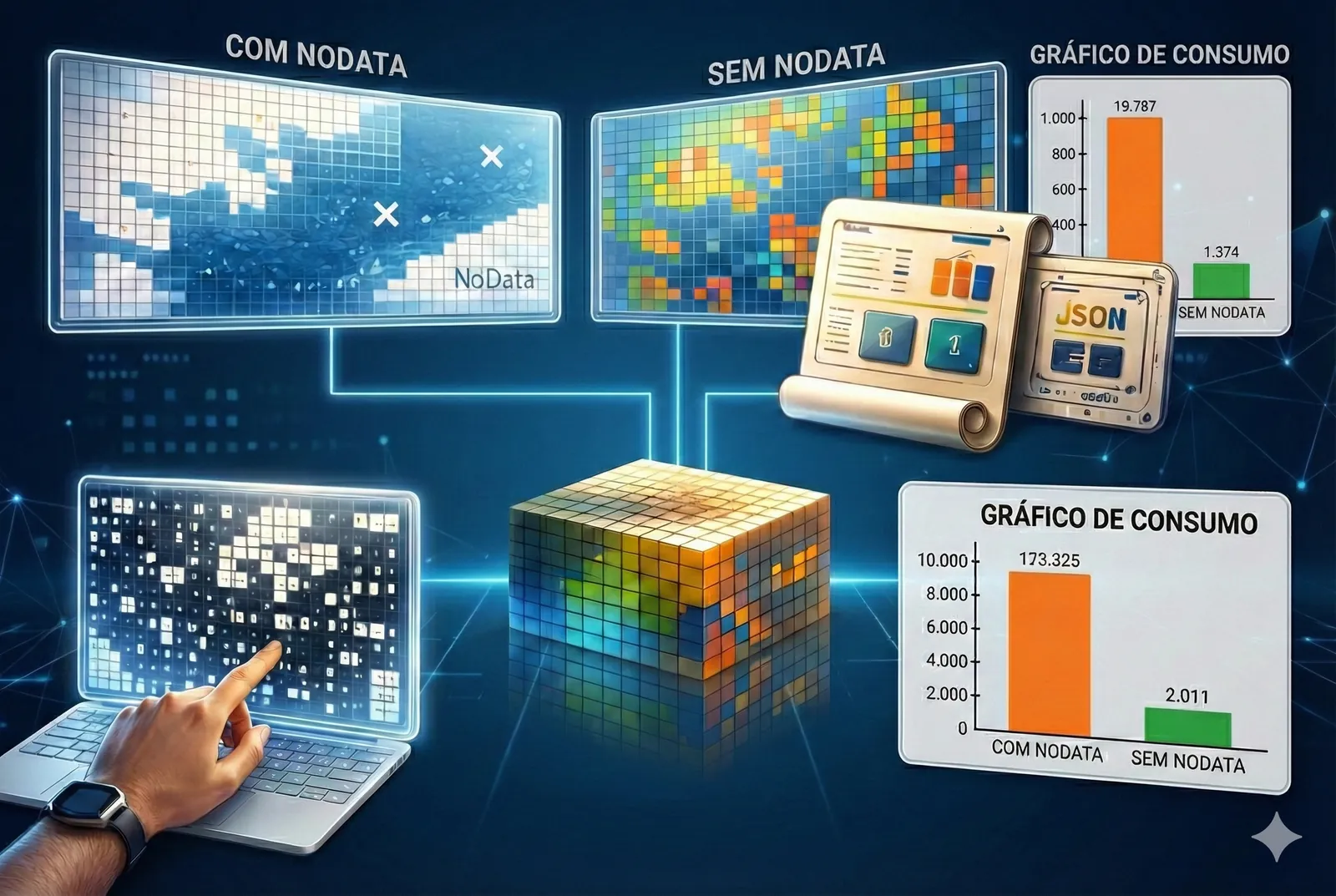
GetCompress: Compressing Raster Stacks to Run Faster Without Losing the Original Grid
While reading a paper on multivariate solar power forecasting with multilevel data fusion, one practical idea kept coming back to me, that with large…
Category
Deep learning on satellite, radar (SAR) and drone imagery, and GIS.
6 articles
While reading a paper on multivariate solar power forecasting with multilevel data fusion, one practical idea kept coming back to me, that with large…
AI models for remote sensing deliver increasingly impressive results on academic benchmarks, but moving them into operational environments, where rea…
It's been a long time since I last posted here on the blog. But recently, while looking at search trends on Google Trends, I noticed a remarkable ris…
While working with a radar imagery dataset provided by ICEYE, an innovative company in synthetic aperture radar (SAR) technology, I ran into noisy, l…
Working with data from the Sensor Data Management System (SDMS), provided by the US Air Force, is a really interesting challenge. In this post, I tra…
Many people starting out in data science don't know how those neat, ready-to-use image samples for training deep learning models are actually produce…
No articles match your search.